Zion National Park
Trails & Hikes
From flat riverside walks to the chains of Angels Landing - find the right trail for your group, your fitness level, and how much time you have.
Showing all 19 trails
Permits & Wilderness Access: 84% of Zion National Park is designated wilderness. Permits are required for all overnight backpacking trips, The Subway (Left Fork), Narrows through-hikes, and overnight climbing bivouacs. Angels Landing requires a separate competitive day-use permit. Most wilderness permits are lottery-based and book up well in advance.
Zion Canyon
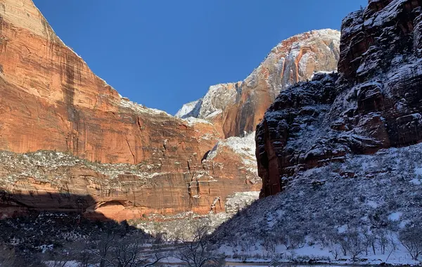
The heart of the park and home to its most iconic trails. Accessed by the free park shuttle along Zion Canyon Scenic Drive.
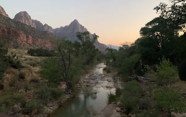
Pa'Rus Trail
EasyA paved, mostly flat trail along the Virgin River. Bikes and leashed dogs welcome - one of the few pet-friendly options in the park.
Riverside Walk
EasyA paved, accessible walk along the North Fork of the Virgin River. The gateway into The Narrows - stunning even without going further.
Weeping Rock
EasyA quick paved walk to a dripping alcove - great for families and a perfect first stop in the canyon.
Emerald Pools
EasyThree tiered pools connected by short trails - the lower pool is stroller-accessible; the upper pool requires a moderate scramble.
Watchman Trail
ModerateA popular loop above the visitor center with open views of the Watchman formation, Springdale, and the lower canyon.
The Narrows
ModerateWade through the Virgin River between 2,000-foot walls. Go as far as you like - most visitors do 2-4 miles and turn around.
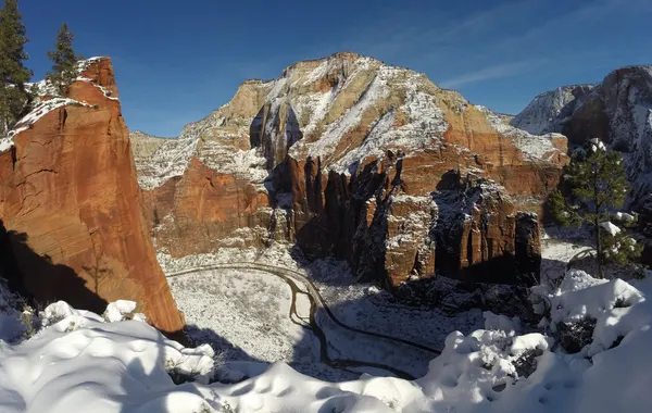
Angels Landing
StrenuousZion's signature hike. The final half-mile follows chains bolted into sheer rock with 1,000-foot drop-offs. A permit is required for the chains section.
Kolob Canyons
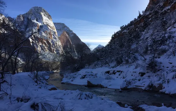
The remote northwest corner of the park, reached via a separate entrance off I-15. Known for dramatic finger canyons and the world's largest arch.
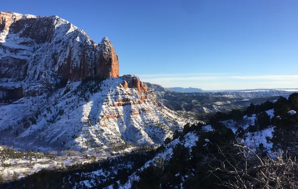
Timber Creek Overlook
EasyA short ridge walk to the end of Kolob Canyons Road with panoramic views of Timber Creek, Kolob Terrace, and the Pine Valley Mountains.
Taylor Creek Trail
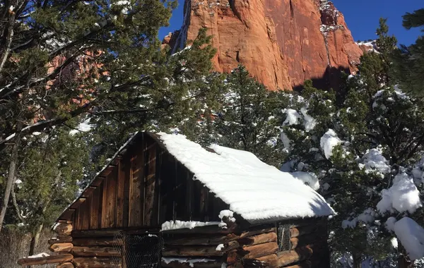
ModerateFollows the Middle Fork of Taylor Creek past two historic homestead cabins to Double Arch Alcove - one of the most rewarding hikes in Kolob Canyons.
La Verkin Creek to Kolob Arch
StrenuousA deep backcountry route starting at Lee Pass, descending to La Verkin Creek, and reaching a viewpoint of Kolob Arch - one of the world's largest natural arches.
Kolob Terrace
A high-elevation plateau in the center of the park accessed via Kolob Terrace Road from Virgin, Utah. Fewer crowds, sweeping views.
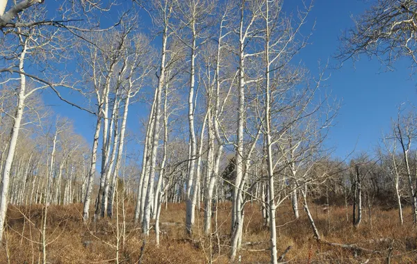
Northgate Peaks Trail
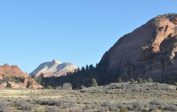
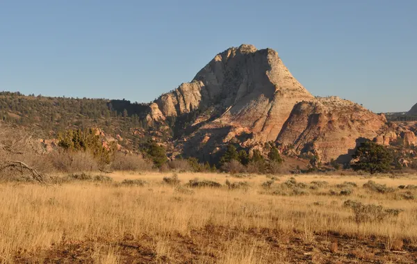
ModerateA relatively flat trail through ponderosa pine forest ending at a viewpoint overlooking the Northgate Peaks, Guardian Angels, and Zion's high backcountry.
The Subway (Left Fork)
StrenuousOne of Zion's most coveted hikes. The Left Fork of North Creek carves a tunnel-like slot canyon - The Subway - with sculpted pools, waterfalls, and solitude. Permit required; demand far exceeds availability.
West Rim Trail via Lava Point
StrenuousStarting near Lava Point, this high-elevation rim trail sweeps across Wildcat Canyon and Potato Hollow with commanding views. A through-hike to the canyon floor is possible but requires a shuttle. Trailhead may be snow-covered in winter.
East Rim
Sits east of Zion Canyon at a much higher elevation, accessible from the Zion-Mt. Carmel Highway. Open terrain with wide canyon views.
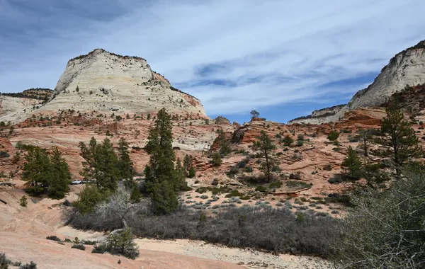
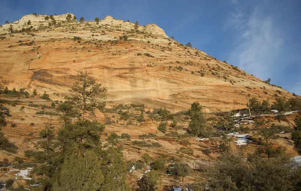
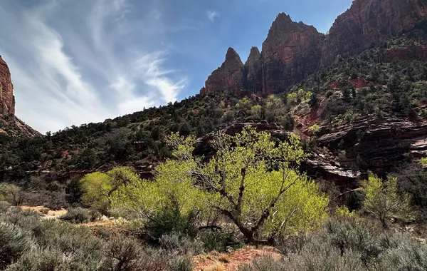
Canyon Overlook
ModerateA short trail above the Zion-Mt. Carmel Tunnel ending at a viewpoint over Pine Creek Canyon and lower Zion. Parking is extremely limited - be prepared to try multiple times.
East Rim Trail
StrenuousClimbs to a high sandstone plateau with views of cliffs in every direction, reaching Stave Spring and the junction with Deertrap and Cable Mountain trails. Note: major rockfall has closed the connection to Zion Canyon - access from the East Rim Trailhead only.
East Mesa Trail to Observation Point
ModerateThe current primary route to the Observation Point viewpoint - a relatively flat approach across East Mesa. Requires a high-clearance / 4WD vehicle to reach the trailhead via dirt roads off North Fork Road.
Observation Point
StrenuousThe highest viewpoint in Zion Canyon and arguably its best vista. Now accessed via the East Mesa or East Rim trailheads - the former canyon-floor route through Echo Canyon is closed due to rockfall.
Southwest Desert
The low-elevation southwest corner of the park near Rockville. Hot, dry, and lightly visited - a stark contrast to the main canyon.
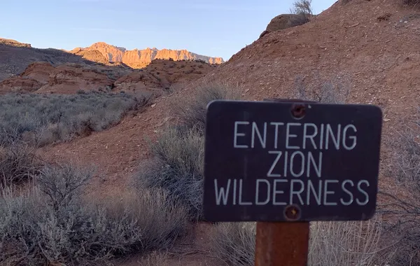
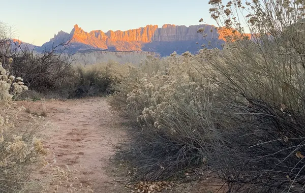
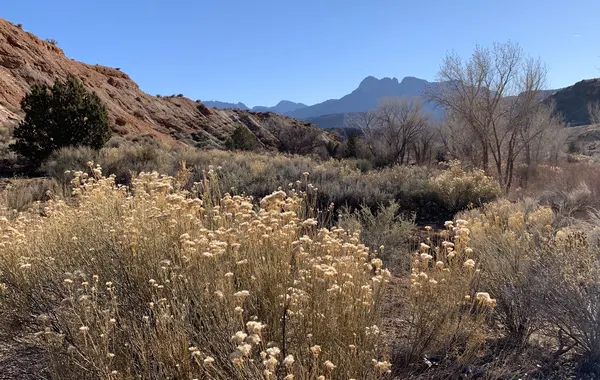
Chinle Trail
ModerateA remote desert traverse through pinyon pine and juniper with sweeping views of the West Temple and Mount Kinesava. Connects to Coalpits Wash. Extremely hot in summer - best in spring when wildflowers bloom. Trail becomes very muddy when wet.
Coalpits Wash
EasyA well-defined wash hike to Coalpits Spring, with the option to continue into Scoggins Wash. No formal trail past the first junction - just follow the drainage as far as you like. Little shade; best visited in spring.
Browse Hikes by Type
Best Hikes in Zion
Our top recommendations across all difficulty levels - if you only have time for a few, start here.
Easy Hikes
Flat, accessible trails perfect for all ages and fitness levels - no experience required.
Family-Friendly Hikes
Kid-tested trails with manageable distances, interesting scenery, and minimal exposure.
Winter Hikes
The best trails when crowds thin out - plus what to know about ice, snow, and cold conditions.
Scenic Walks
Paved and near-flat routes through stunning canyon scenery - great for a leisurely morning.
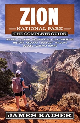
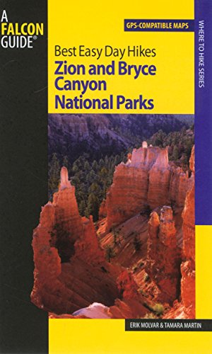
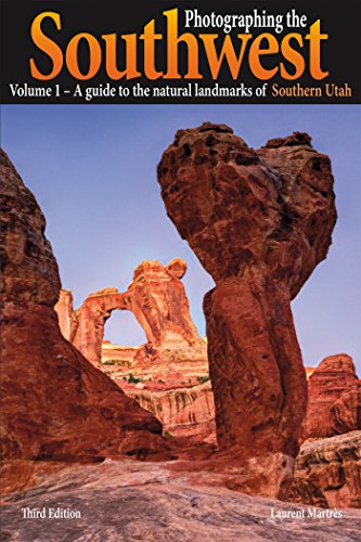
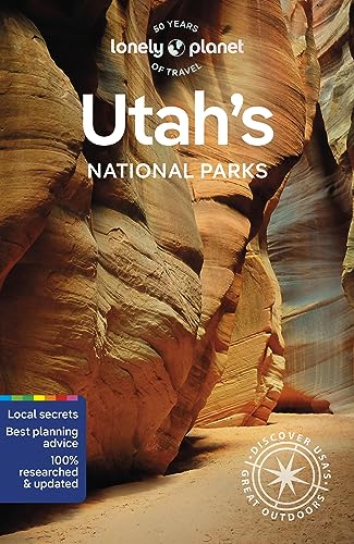
Guidebooks & Trail Maps
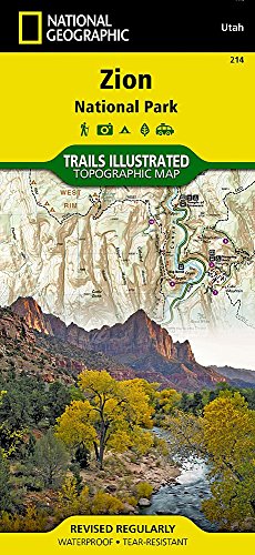
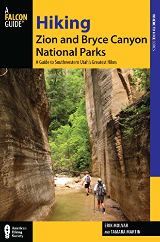
Trail guides and topo maps for hiking Zion and Bryce. Best of Zion earns from qualifying Amazon purchases, at no extra cost to you.
Hiking Essentials
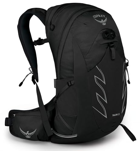
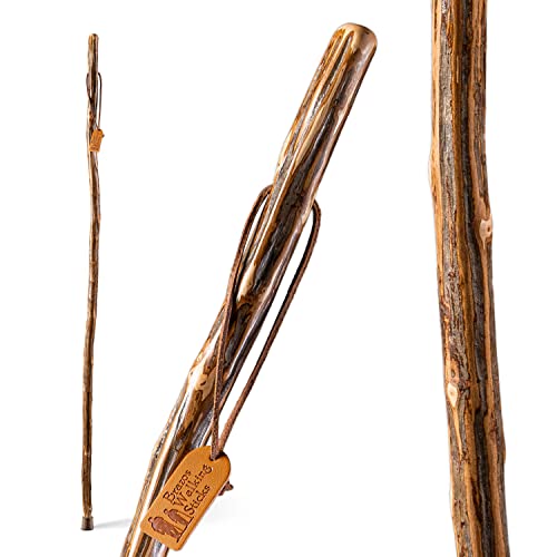
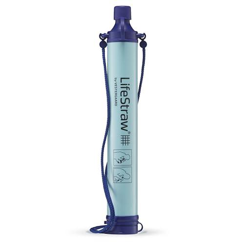
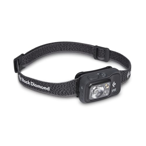
A daypack, walking stick, water, and light - the essentials for Zion trails. Best of Zion earns from qualifying Amazon purchases, at no extra cost to you.



Keep Exploring Zion
Zion Wildlife
Bighorn sheep, mule deer, condors and more - and where to spot them.
Zion wildlife →Zion Photography
A gallery of original photos, plus gear and camera picks for the trail.
Photography →Best Time to Hike
Month-by-month weather and crowds so you pick the right window.
Best time to visit →