Trails & Hikes · Kolob Terrace

West Rim Trail via Lava Point

Starting near Lava Point, this high-elevation rim trail sweeps across Wildcat Canyon and Potato Hollow with commanding views. A through-hike to the canyon floor is possible but requires a shuttle. No permit for a day hike; the trailhead may be snow-covered in winter.

19.0 mi Round Trip
1,500 ft Elevation Gain
Full Day Typical Time
Strenuous Difficulty
Near Lava Point Trailhead
Not Required Permit

Overview

The West Rim Trail via Lava Point is the long, high-elevation approach to one of Zion's most storied trail corridors. Starting near Lava Point on the Kolob Terrace plateau, the route runs 19.0 miles round trip with about 1,500 feet of elevation gain, sweeping across Wildcat Canyon and Potato Hollow along the way. It is rated strenuous, both for its distance and for the remote, high-elevation terrain it covers.

This is a different experience from the lower, canyon-side stretch of the West Rim Trail that Angels Landing hikers climb from The Grotto - up here on the plateau, the trail moves through forest and rim country well above Zion Canyon, with commanding views rather than canyon-wall exposure.

A through-hike all the way down to the canyon floor is possible for hikers who want to turn this into a point-to-point trip rather than an out-and-back, but that option requires arranging a shuttle, since the start and end points sit on opposite sides of the park.

Coming Soon from bestofzion.com

Route Options: Out-and-Back or Through-Hike

Most day hikers treat the route from Lava Point as an out-and-back, covering the full 19.0 miles round trip and returning to the same trailhead. The trail passes through Wildcat Canyon and Potato Hollow along the way, both offering the kind of commanding, high-elevation views that set this part of the park apart from the canyon floor.

Hikers looking for a bigger undertaking can continue on a through-hike down to the canyon floor, connecting eventually with the lower West Rim Trail and finishing inside Zion Canyon. Because this turns the route into a point-to-point hike rather than a loop or out-and-back, a shuttle is required to get back to a vehicle left at the Lava Point trailhead - plan transportation before you commit to this version of the hike.

What to Bring

  • More water than you think you need - at 19.0 miles round trip, this is one of the longest day hikes in the park, with limited water sources along the way.
  • A full day's food and fuel - budget a full day out, with enough calories to sustain sustained effort over high-elevation terrain.
  • Layers - the Lava Point area sits at a considerably higher elevation than Zion Canyon, so temperatures can swing more and run cooler than down in the main canyon.
  • A map or offline navigation - this is a long, remote route with limited cell coverage; know your turnaround point before you start.

Best Time to Go

Late spring through early fall is the most reliable window, since the trailhead near Lava Point may be snow-covered in winter and Kolob Terrace Road, which provides access, typically closes with snow . Check current road and trail conditions with the NPS before planning a trip in the colder months. Given the distance involved, an early start matters in any season to leave enough daylight for a full 19.0-mile day.

Safety

  • Distance and remoteness - 19.0 miles is a serious undertaking at any elevation; know your pace and set a firm turnaround time.
  • Shuttle logistics for the through-hike - if you plan to continue down to the canyon floor rather than returning to Lava Point, arrange your shuttle before you start, not after.
  • Limited water sources - carry enough water for the full distance rather than counting on refilling along the way.
  • Weather and road conditions - the higher elevation near Lava Point means faster-changing weather and a greater chance of snow closing the road or trailhead; check conditions before you go.

Hiking Essentials

A daypack, extra water capacity, and navigation - the essentials for a full-day backcountry hike. Best of Zion earns from qualifying Amazon purchases, at no extra cost to you.
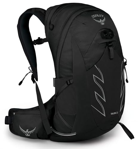
Osprey Talon 22 Hiking Daypack
Daypack

Osprey Talon 22 Hiking Daypack

by Osprey

View on Amazon →
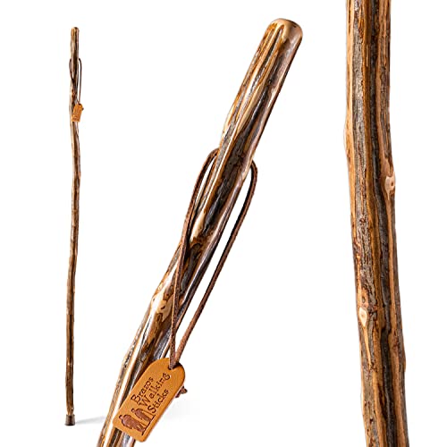
Brazos Handcrafted Wood Walking Stick
Walking stick

Brazos Handcrafted Wood Walking Stick

by Brazos

View on Amazon →
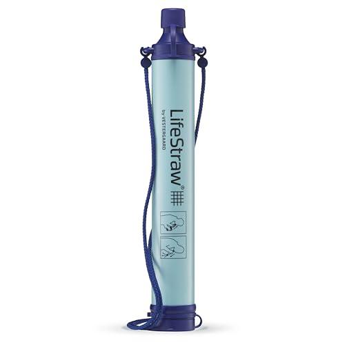
LifeStraw Personal Water Filter
Water filter

LifeStraw Personal Water Filter

by LifeStraw

View on Amazon →
Hydro Flask 24 oz Water Bottle
Water bottle

Hydro Flask 24 oz Water Bottle

by Hydro Flask

View on Amazon →
Nuun Sport Electrolyte Tablets
Electrolytes

Nuun Sport Electrolyte Tablets

by Nuun

View on Amazon →
JOTO Waterproof Phone Pouch (2-Pack)
Waterproof phone pouch

JOTO Waterproof Phone Pouch (2-Pack)

by JOTO

View on Amazon →
Black Diamond Spot 400 Headlamp
Headlamp

Black Diamond Spot 400 Headlamp

by Black Diamond

View on Amazon →
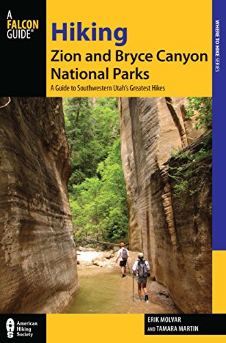
Hiking Zion & Bryce Canyon National Parks
Trail guide

Hiking Zion & Bryce Canyon National Parks

by FalconGuides

View on Amazon →

West Rim Trail FAQs

Do I need a permit for a West Rim Trail day hike?

No. A day hike on the West Rim Trail via Lava Point does not require a permit. Permits only come into play if you turn the route into an overnight backcountry trip or continue on the through-hike into Zion Canyon - check current backcountry permit requirements directly with the NPS if you are planning either of those.

How does the through-hike to Zion Canyon work, and why do I need a shuttle?

From Lava Point, the West Rim Trail can be hiked one-way all the way down to the canyon floor, finishing near the trails inside Zion Canyon rather than looping back to Lava Point. Because the start and end points are far apart and on opposite sides of the park, a shuttle is needed to get back to your vehicle - this is a point-to-point route, not an out-and-back or loop.

Is the Lava Point trailhead reachable in winter?

Not reliably. The trailhead may be snow-covered in winter, and Kolob Terrace Road, which provides access to this part of the park, typically closes with snow . Check current road and trail conditions with the NPS before planning a visit outside the warmer months.

How does the West Rim Trail relate to the Angels Landing hike?

They share a name and, for part of the route, a trail. The first stretch of the Angels Landing hike from the canyon floor up to Scout Lookout follows the West Rim Trail from its Zion Canyon end. This page describes the trail from the opposite direction - starting near Lava Point on the high plateau - which is a separate, much longer undertaking from the short climb Angels Landing hikers make from the canyon side.