Trails & Hikes · East Rim
Observation Point
The view many consider the finest in Zion - a rim perched 2,148 feet above the canyon floor, looking straight down onto Angels Landing and the length of Zion Canyon. The catch: rockfall has disrupted the routes to it since 2019, so this one takes planning.
Check the status before you plan. A major 2019 rockfall severed the classic route from Weeping Rock - the East Rim Trail no longer connects to Zion Canyon. The alternate East Mesa Trail approach has also been closed by landslides, and as of early 2026 the area remained closed even though the short Weeping Rock Trail itself has reopened. Conditions have changed repeatedly - always confirm current access on the NPS East Rim trail page before you count on this hike.
Overview
Observation Point sits on the eastern rim of Zion Canyon, 2,148 feet above the canyon floor - roughly 700 feet higher than the summit of Angels Landing - and looks straight down the length of the canyon toward the Virgin River, the Great White Throne, and Angels Landing itself. There's no permit, no chains, and no lottery here; the challenge isn't paperwork or nerve, it's simply getting to the trailhead and covering the miles.
That said, this is not a casual afternoon walk. Depending on which route is open, you're looking at a full day out, a meaningful elevation gain or a genuinely remote trailhead, and, as of this writing, an access situation that has shifted more than once since 2019. Read the closure section below before you build a trip around this hike.
Why It's Legendary
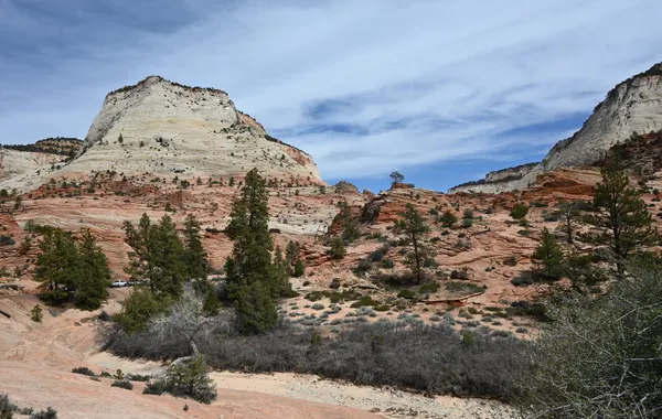
Observation Point is the great counterpoint to Angels Landing. Where Angels Landing juts out into the canyon, Observation Point stands high on the east rim and looks down on all of it - roughly 700 feet higher than the top of Angels Landing, with the entire length of Zion Canyon, the Great White Throne, and the Virgin River laid out far below. For many hikers it's simply the best view in the park, earned without the white-knuckle exposure of the chains.
The Closure Situation
Getting there is the hard part right now. There have historically been two ways up, and both have been affected by rockfall:
- From Weeping Rock, via the East Rim Trail - the classic, strenuous climb from the canyon floor (~8 miles round trip, ~2,100 feet of gain). A 2019 rockfall buried a section of this trail, and it no longer connects to Zion Canyon. The short Weeping Rock Trail to the alcove has reopened, but the route to Observation Point beyond it has not.
- From the East Mesa Trail - the "easy way," starting high on the plateau off Zion Ponderosa / North Fork Road and approaching the point nearly on the level (~6.5 miles round trip, only a few hundred feet of gain). This became the popular workaround, but landslides have closed it too, and as of early 2026 it remained closed.
Because the situation has shifted more than once, don't build a trip around Observation Point without confirming current access with the National Park Service first. If it has reopened, the East Mesa route is by far the gentler option.
Route Options: East Mesa vs. East Rim
When a route to Observation Point is open, there are two very different ways to reach it, and they suit different hikers:
- East Mesa Trail (the flatter option) - starts high on the plateau near Zion Ponderosa, off North Fork Road, and approaches Observation Point across mostly level terrain: about 6.5 miles round trip with only a few hundred feet of elevation gain. The tradeoff is the trailhead itself - reaching it requires a high-clearance or 4WD vehicle over dirt roads, so a standard sedan won't get you there even when the trail is open.
- East Rim Trail from Weeping Rock (the classic option) - the historic route straight up from the canyon floor, gaining roughly 2,100 feet over about 8 miles round trip. It's a full-day, strenuous climb by any measure, and it has the advantage of a paved trailhead reachable by any vehicle - when it actually connects through to Observation Point, which right now it does not.
In practice, "which route should I take" usually isn't the real question right now - it's "is either route open at all." Both have been affected by the rockfall and the subsequent landslides described above, and the honest answer is to check the NPS East Rim trail page before committing a day of your trip to this hike. If you do get confirmation that East Mesa is open, most hikers find it the easier and more forgiving of the two, so long as their vehicle can handle the approach road. If only a lower section of the East Rim Trail is accessible as a there-and-back short of Observation Point itself, treat that as a bonus outing on the way from Weeping Rock rather than the summit you came for.
Whichever route eventually reopens, plan for changeable weather on an exposed rim, very little shade along the way, and no water source on the trail. Carry everything you need with you, and start early regardless of which trailhead you use.
What You See From the Top
When it's open, the payoff is hard to overstate: a straight-down look at Angels Landing and its knife-edge spine, the Great White Throne glowing across the canyon, and the Scenic Drive threading the valley floor more than 2,000 feet below. Sunrise and late afternoon are the standout times for light.
What to Bring
- Plenty of water - there is no reliable water source on either route, and a full day out on an exposed rim or a canyon-floor climb burns through it fast. Bring more than you think you'll need.
- A high-clearance or 4WD vehicle, if you're driving to East Mesa - the dirt roads off North Fork Road are not suited to a low sedan. Confirm your vehicle can handle them before you commit to that approach.
- Sturdy hiking shoes - both routes cover uneven, exposed terrain, and the East Rim side includes a genuine sustained climb.
- Sun protection - there is very little shade on the plateau or the rim; a hat, sunscreen, and sun-protective clothing all matter here.
- A full day's worth of food and layers - either route is a major undertaking, and conditions on an exposed rim can change quickly.
- A downloaded map or offline GPS track - cell service is unreliable on the plateau and along the rim, which makes it worth confirming your route before you lose signal, not after.
Best Time to Go
Spring and fall bring the most comfortable temperatures for a long day on an exposed rim or a steep canyon-floor climb. Summer heat is a real hazard on both routes - there's little shade anywhere along the way, and afternoon thunderstorms are common on the plateau. Winter can bring snow and ice to the higher elevations of the East Mesa side and to the shaded switchbacks of the East Rim Trail, so check conditions and pack traction devices if you go outside the main season.
Sunrise and late afternoon give the best light on the canyon below, on whichever route is open - the same golden-hour glow that makes Angels Landing and Canyon Overlook worth timing carefully applies here too, just from 700 feet higher up.
Safety
The risk profile here is different from Angels Landing's chains, but this is still a serious undertaking, and the current access situation adds a hazard of its own: taking closures lightly.
- Respect the rockfall and landslide closures - the terrain that failed in 2019 and in the landslides since is unstable for a reason. Do not attempt to scramble around a closed section; follow posted closures and current NPS guidance rather than an old trip report or trail app.
- Length and exposure of the approach - whichever route is open, this is a long day. The East Rim side is a sustained, strenuous climb with real elevation gain; the East Mesa side is gentler underfoot but remote, with an exposed plateau and a rough access road. Neither is a hike to start late in the day.
- No water on the trail - carry all the water you'll need for a full day; there is no source to refill along either route.
- Weather on an exposed rim - the plateau and rim offer little shelter from sun, wind, or sudden storms. Turn around if conditions turn, especially with thunderstorms in the forecast.
- Drop-offs at the viewpoint - Observation Point itself sits on an unguarded rim with a sheer drop to the canyon floor. Stay back from the edge, especially with kids.
If It's Closed: What to Hike Instead
For a similarly huge view while Observation Point is off-limits:
- Angels Landing - the other iconic high viewpoint (permit required, real exposure).
- Canyon Overlook - a big canyon view for a fraction of the effort, on the east side.
- Watchman Trail - an easy-to-reach mesa viewpoint straight from the Visitor Center.
Hiking Essentials
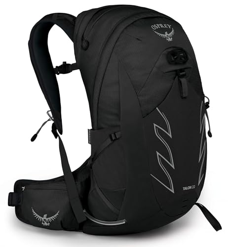
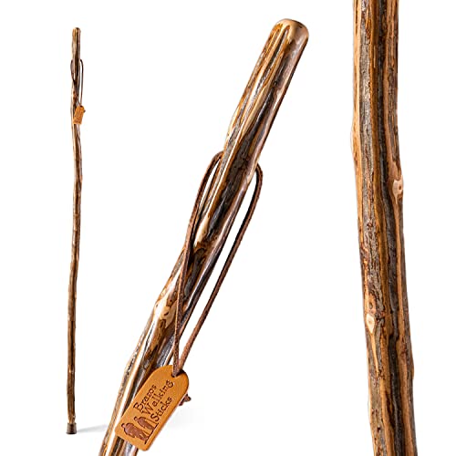
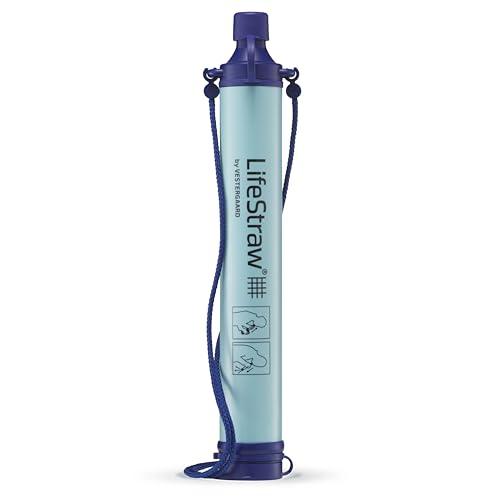
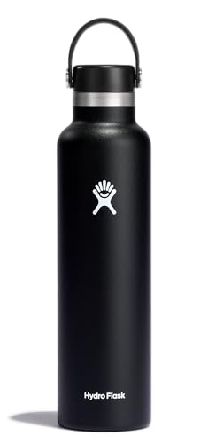
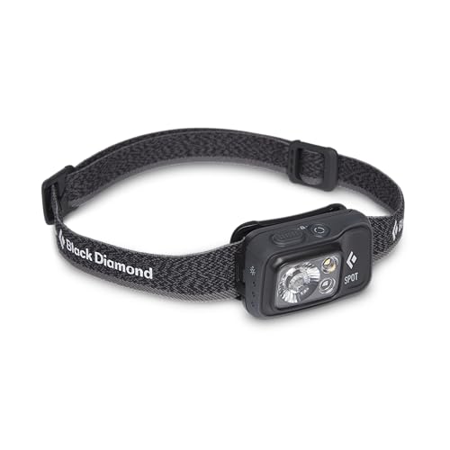
A daypack, walking stick, water, and light - the essentials for a big Zion day hike. Best of Zion earns from qualifying Amazon purchases, at no extra cost to you.


Observation Point FAQs
Which route to Observation Point is currently open?
Access has changed more than once since the 2019 rockfall, and this page cannot promise you a live answer - conditions on the ground can shift after this was written. The classic Weeping Rock / East Rim Trail approach has been severed since 2019, and the East Mesa Trail workaround has also seen closures. Confirm current status on the NPS East Rim trail page before you build a trip around this hike.
What kind of vehicle do I need for the East Mesa trailhead?
A high-clearance or 4WD vehicle. The East Mesa trailhead is reached via dirt roads off North Fork Road, not by regular pavement, so a standard sedan is the wrong car for this approach even when the trail itself is open.
How does Observation Point compare to Angels Landing?
They're the two marquee viewpoints in Zion and they answer different questions. Angels Landing puts you on a narrow spine jutting into the canyon, with chains, a permit lottery, and real exposure. Observation Point sits on the rim roughly 700 feet higher than the top of Angels Landing, looking straight down on the whole canyon including Angels Landing itself, with no chains and no permit - the tradeoff is the current access uncertainty and, when a route is open, a longer approach.
Do I need a permit for Observation Point?
No. Neither the East Rim Trail nor the East Mesa Trail requires a permit, unlike Angels Landing. The obstacle here is access, not paperwork.
How long does the hike to Observation Point take?
It depends entirely on which route is open. The East Mesa approach is the gentler option - close to level walking across the plateau. The classic East Rim Trail from Weeping Rock is a full canyon-floor climb with roughly 2,100 feet of gain over about 8 miles round trip, and is rated strenuous either way. Budget most of a day for either version.
Will the Echo Canyon route from Weeping Rock ever reopen?
Honestly, we don't know, and we won't guess. It has been closed since the 2019 rockfall with no announced reopening date as of this writing. The only reliable source is the NPS East Rim trail page - check there rather than relying on trip reports or trail apps, which can lag behind official closures.