Trails & Hikes · East Rim
East Mesa Trail
The bring-the-right-vehicle hike: a high-clearance or 4WD vehicle is required to reach the trailhead via dirt roads off North Fork Road, but once you're there the walk itself is a relatively flat 6.8-mile round trip across East Mesa toward Observation Point. This approach has itself been affected by landslide closures, so confirm current access before you plan a trip around it.
Confirm access before you make the drive. The classic East Rim Trail from Zion Canyon has been closed by rockfall since 2019, which is why East Mesa is treated as the alternate approach to Observation Point. But East Mesa access has itself been closed by landslides at times, and as of early 2026 that closure remained in effect. Check the NPS East Rim trail page before you commit a day to this route.
Overview
The single most useful thing to know about the East Mesa Trail is what it takes to get to the trailhead: a high-clearance or 4WD vehicle, driven over dirt roads off North Fork Road. A standard sedan is the wrong car for this approach, and that vehicle requirement, not the hike itself, is the real gatekeeper here.
Once you've made it to the trailhead, the trail is comparatively gentle: a relatively flat approach across East Mesa, 6.8 miles round trip with only about 300 feet of elevation gain. Because the historic route to Observation Point from Zion Canyon has been disrupted by rockfall, the East Mesa Trail is the intended alternate route to that viewpoint. But East Mesa access has itself been closed by landslides at times, and as of early 2026 that closure remained in effect - see our Observation Point page for the fuller closure picture before you plan around this connection.
In short, this is a trade: a rough, high-clearance-only access road in exchange for a mostly level walk to one of the park's best views, rather than a strenuous canyon-floor climb.
The Route
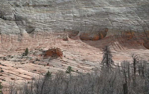
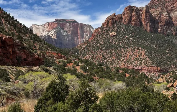
From the East Mesa trailhead, the trail crosses the mesa on mostly level ground toward the rim - a 6.8-mile round trip with only about 300 feet of elevation gain, which makes it one of the gentler ways to reach a major Zion viewpoint. There are no sustained climbs or exposed switchbacks to navigate on the walk itself; the effort here is front-loaded into the drive rather than the miles on foot.
Because this trail leads to Observation Point, treat the two as a linked trip when planning: confirm current access on the Observation Point page before you commit to the drive out to the East Mesa trailhead, since East Mesa itself has been closed by landslides more than once and isn't guaranteed to be open when you go.
What to Bring
- A high-clearance or 4WD vehicle - this is the single most important piece of gear for this hike; confirm your vehicle can handle the dirt roads off North Fork Road before you set out.
- Plenty of water - there is no reliable water source on the mesa, and the open plateau offers little shade.
- Sun protection - a hat, sunscreen, and sun-protective clothing matter on an exposed, largely shadeless walk.
- A downloaded map or offline GPS track - cell service is unreliable on the plateau, which is worth confirming before you lose signal rather than after.
Best Time to Go
Spring and fall bring the most comfortable temperatures for a day on an exposed mesa with little shade. Summer heat is a real concern here even though the walking itself is easy, since there is nowhere to escape direct sun along the route. Winter can bring snow to the higher plateau and can complicate both the dirt access road and the trail itself, so check current conditions before heading out in the colder months.
Safety
- Match your vehicle to the road - the dirt roads off North Fork Road require a high-clearance or 4WD vehicle; do not attempt them in a standard sedan.
- No water source on the mesa - carry all the water you'll need; there is nothing to refill from along the trail.
- Little shade on an exposed plateau - sun and heat are the main hazard even though the terrain underfoot is easy.
- Unreliable cell service - the plateau is remote; carry a downloaded map or offline GPS track rather than counting on a signal.
- Confirm East Mesa itself is open - this trail has been closed by landslides before, most recently reported still closed as of early 2026; check current status rather than assuming.
Hiking Essentials
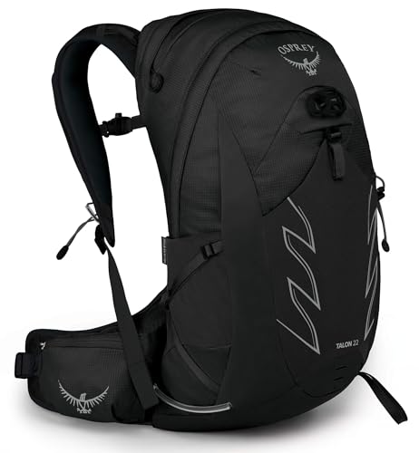
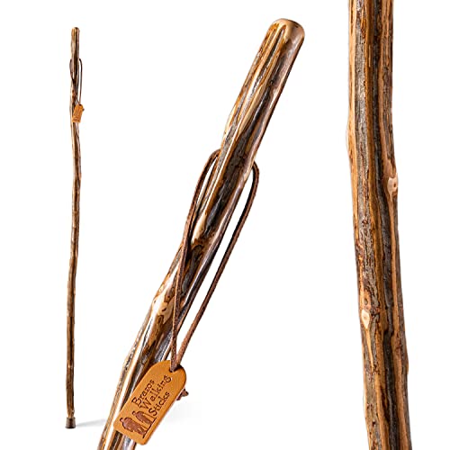
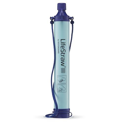
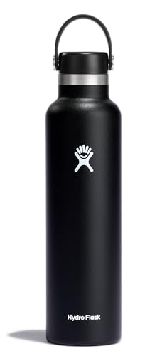
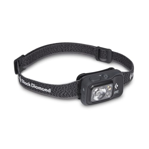
A daypack, walking stick, water, and light - the essentials for a Zion day out. Best of Zion earns from qualifying Amazon purchases, at no extra cost to you.


East Mesa Trail FAQs
What kind of vehicle do I need for the East Mesa trailhead?
A high-clearance or 4WD vehicle. The trailhead is reached via dirt roads off North Fork Road, not by regular pavement, so a standard sedan is the wrong car for this approach even when the trail itself is in good shape. Unpaved roads can be affected by weather, so check current conditions before you commit to the drive .
Is the East Mesa Trail the route to Observation Point right now?
It's the intended alternate. The historic route into Observation Point from Zion Canyon has been disrupted by rockfall, and the East Mesa Trail approaches from the plateau instead of the canyon floor, as covered on our Observation Point page. But East Mesa access has itself been closed by landslides at times, and as of early 2026 that closure remained in effect. Confirm current status on the NPS East Rim trail page before you plan a trip around this route.
How hard is the East Mesa Trail itself?
The trail is relatively flat - a gentle, mostly level walk across East Mesa with only about 300 feet of elevation gain over the 6.8-mile round trip. The real difficulty with this hike is not the trail, it is the drive: reaching the trailhead requires a high-clearance or 4WD vehicle over unpaved roads.
Do I need a permit for the East Mesa Trail?
No. The East Mesa Trail does not require a permit. The obstacle here is the access road, not paperwork.