Trails & Hikes · Kolob Terrace

The Subway (Left Fork)

One of Zion's most coveted hikes. The Left Fork of North Creek carves a tunnel-like slot canyon with sculpted pools, waterfalls, and solitude. A permit is required, and demand far exceeds availability.

9.0 mi Round Trip
1,000 ft Elevation Gain
7-9 hrs Typical Time
Strenuous Difficulty
Left Fork Trailhead
Required Permit

Overview

The Subway is one of the most sought-after hikes in Zion National Park, and one of the hardest to get onto the calendar for. The Left Fork of North Creek carves a genuinely tunnel-shaped slot canyon - smooth, curving walls that give the route its name - filled with sculpted pools, small waterfalls, and a quiet that is hard to find elsewhere in the park. A permit is required, and demand for it far exceeds the number available.

This page covers the bottom-up route from the Left Fork trailhead, a 9-mile round trip with about 1,000 feet of elevation gain. It is rated strenuous - not because of any single obstacle, but because of the combined demands of distance, stream crossings, scrambling, and route-finding over a full day out.

Because of the permit system and the effort required to reach it, The Subway rewards hikers who plan well ahead and come prepared for a genuine backcountry outing, not a casual add-on to a Zion Canyon day.

Coming Soon from bestofzion.com

Route Options: Bottom-Up vs. Top-Down

There are two ways into The Subway, and they are not interchangeable in difficulty. The bottom-up route, covered on this page, starts at the Left Fork trailhead and follows the creek upstream - it involves route-finding, wading, and scrambling over slick rock, but no ropes or rappelling. It is the option most hikers mean when they talk about doing The Subway as a day hike.

The top-down route enters the canyon from above and requires canyoneering skills and specialized gear to descend through technical sections before reaching the part of the canyon most people picture. It is a materially different undertaking from the bottom-up hike and should only be attempted by hikers with canyoneering experience and the right equipment.

The Permit System

A permit is required to hike The Subway, whether bottom-up or top-down, and it is one of the most competitive permits in the park - demand far exceeds availability. The process and application windows change, so check directly with the NPS for the current system rather than relying on secondhand information before you plan a trip around this hike.

What to Bring

  • Water and a full day's food - with a typical time in the range of 7 to 9 hours, this is a serious commitment, not a short outing.
  • Sturdy, grippy footwear you don't mind getting wet - the route involves stream crossings and wading through pools; sandals are not adequate for the scrambling involved.
  • A map or offline navigation - the bottom-up route involves genuine route-finding along the creek corridor.
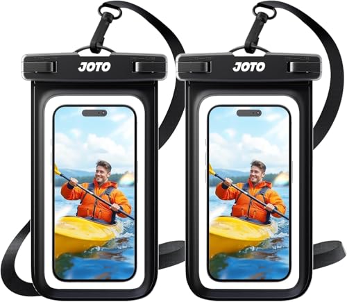
  • A dry bag for essentials - phone, permit confirmation, and any electronics are worth protecting given the amount of water along the route.

Best Time to Go

Spring and fall generally bring the most manageable water levels and temperatures for a long day in and out of the creek. Summer brings monsoon season to Zion, and flash-flood risk in a slot canyon like this one is a serious concern during storm season - always check the forecast before you go. Winter can bring cold water and icy approach conditions at this elevation, which adds real risk to the stream crossings.

Safety

This is a strenuous, technical-adjacent hike through a slot canyon, and it deserves to be treated with real respect regardless of how many photos of it you've seen online.

  • Flash floods - the single biggest hazard here; check the current flash-flood forecast before you enter the canyon and turn back at any sign of rising or discolored water.
  • Route-finding - the bottom-up route is not always obvious; a map, GPS, or offline navigation helps avoid wasted time and energy.
  • Slick rock and wading - wet sandstone and stream crossings make for slippery footing throughout; move deliberately, especially on scrambles.
  • Full-day distance - 9 miles with scrambling and route-finding takes real energy; start early enough to be out well before dark.

Hiking Essentials

A daypack, water shoes, dry bag, and navigation - the essentials for a full-day canyon hike. Best of Zion earns from qualifying Amazon purchases, at no extra cost to you.
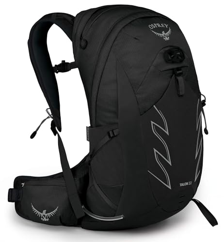
Osprey Talon 22 Hiking Daypack
Daypack

Osprey Talon 22 Hiking Daypack

by Osprey

View on Amazon →
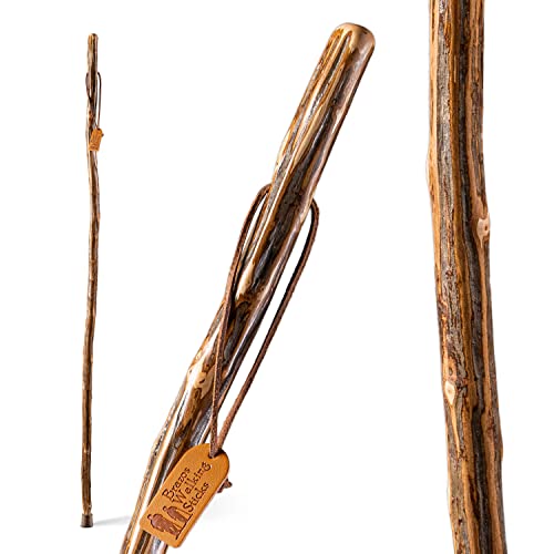
Brazos Handcrafted Wood Walking Stick
Walking stick

Brazos Handcrafted Wood Walking Stick

by Brazos

View on Amazon →
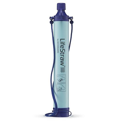
LifeStraw Personal Water Filter
Water filter

LifeStraw Personal Water Filter

by LifeStraw

View on Amazon →
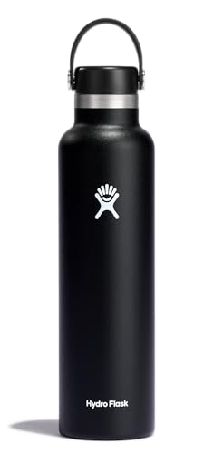
Hydro Flask 24 oz Water Bottle
Water bottle

Hydro Flask 24 oz Water Bottle

by Hydro Flask

View on Amazon →
Nuun Sport Electrolyte Tablets
Electrolytes

Nuun Sport Electrolyte Tablets

by Nuun

View on Amazon →
JOTO Waterproof Phone Pouch (2-Pack)
Waterproof phone pouch

JOTO Waterproof Phone Pouch (2-Pack)

by JOTO

View on Amazon →
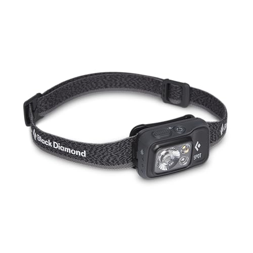
Black Diamond Spot 400 Headlamp
Headlamp

Black Diamond Spot 400 Headlamp

by Black Diamond

View on Amazon →
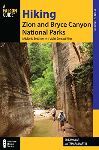
Hiking Zion & Bryce Canyon National Parks
Trail guide

Hiking Zion & Bryce Canyon National Parks

by FalconGuides

View on Amazon →

The Subway FAQs

Do I need a permit to hike The Subway?

Yes. A permit is required for The Subway, and it is one of the most coveted permits in Zion - demand far exceeds availability. Check the current permit process, application windows, and lottery details directly with the NPS before you plan a trip around this hike.

What is the difference between the bottom-up and top-down routes?

The bottom-up route follows the Left Fork of North Creek from the Left Fork trailhead and is the non-technical option - it involves route-finding, stream crossings, and scrambling, but no ropework. The top-down route enters higher in the canyon and requires canyoneering skills and specialized gear to descend through the technical sections above The Subway itself. This page covers the bottom-up approach; the top-down route is a different undertaking and should only be attempted by hikers with canyoneering experience and proper equipment.

Is The Subway an actual slot canyon?

Yes. The Left Fork of North Creek carves a genuinely tunnel-shaped slot canyon - the smooth, rounded walls curve overhead in a way that resembles a subway tunnel, which is where the name comes from. It is one of the more distinctive rock formations in the park, with sculpted pools and waterfalls along the route.

What is the flash flood risk on The Subway?

Real, and it is the defining hazard of this hike. The route travels through a narrow slot canyon where floodwater has nowhere to go but through the space hikers are standing in, so a storm anywhere upstream can turn dangerous fast even under clear skies at the trailhead. Always check the current flash-flood forecast before you go and turn back at the first sign of rising or discolored water.