People of the Canyon
Zion wasn't always a national park. Long before shuttle buses and permit lotteries, people lived here - carved meaning into stone, built homes along the canyon floor, and passed down stories about this particular piece of red earth. Their presence is still written into the walls.
The First Peoples
The earliest evidence of human presence in the Zion area dates back roughly 8,000 years, but the cultures most visibly represented in the canyon today are the Ancestral Puebloans and the Fremont people, who lived throughout the region from approximately 300 BCE to 1300 CE.
These were farmers and hunters who knew how to read the canyon's rhythms - where water ran year-round, where game moved, where shade fell in summer. They left behind granaries tucked into cliff alcoves, pottery sherds scattered across mesa tops, and most enduringly, images pecked and painted into canyon walls: petroglyphs and pictographs that have survived two millennia of wind and weather.
The Southern Paiute people arrived in the region around 1100 CE and have maintained a connection to this land ever since. Zion falls within the ancestral territory of the Kaibab Band of Paiute Indians and the San Juan Southern Paiute Tribe, among others. The name "Zion" is a Mormon designation - the Paiute name for the canyon was Mukuntuweap, meaning "straight canyon" or "straight up land," and that is what it was officially called until 1918. It's just one of many local names with a story behind it - see how Zion's landmarks got their names, from Angels Landing to the Temple of Sinawava.
The Southern Paiute people were never fully removed from the region. Their descendants still live in communities throughout southern Utah and northern Arizona, and the National Park Service works with tribal representatives on cultural preservation, resource management, and interpretation.
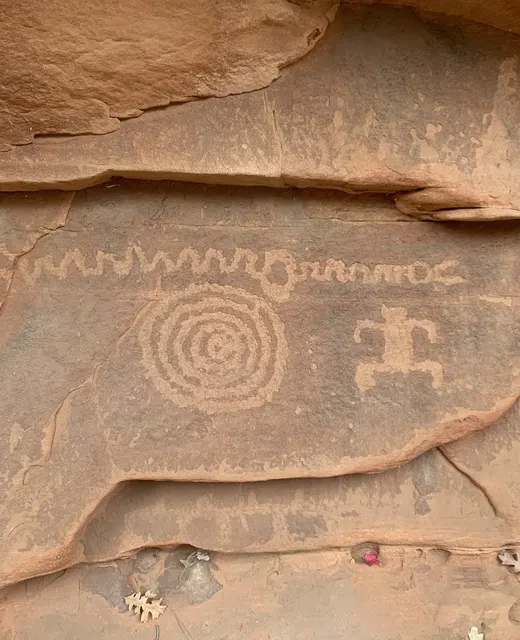
Petroglyphs etched into Zion's canyon walls by ancestral peoples - some more than a thousand years old.
If You Find Petroglyphs
Rock art exists throughout canyon country, and visitors sometimes encounter petroglyphs while exploring Zion. The National Park Service intentionally does not publicize or mark most rock art sites - this is a preservation measure, not an oversight. Some of the most intact rock art in the Southwest has been vandalized within weeks of GPS coordinates going viral online.
- Look, but don't touch. Even clean hands carry oils that degrade the stone surface over time.
- No chalk, water, or rubbing. Any substance applied to enhance visibility causes irreversible damage.
- Don't share GPS coordinates online. A photo with recognizable landmarks is enough to direct vandals to a site.
- Photograph freely and take the images home with you - that's the right kind of sharing.
Damaging or defacing rock art is a federal crime under the Archaeological Resources Protection Act (ARPA), with penalties up to $250,000 and five years in prison.
Ancient Landscape, Ancient Stories
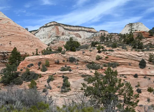
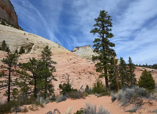
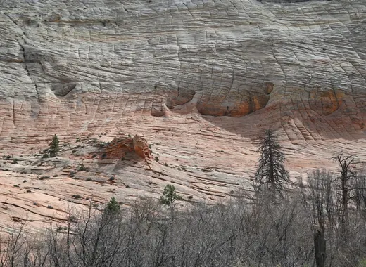
The terrain along Zion's east side - the open sky, the vast Navajo sandstone formations, the Zion-Mt. Carmel Highway corridor - gives the landscape an ancient, unhurried quality. This is some of the oldest exposed rock in the park, and much of its human history is written here.
Pioneer Heritage
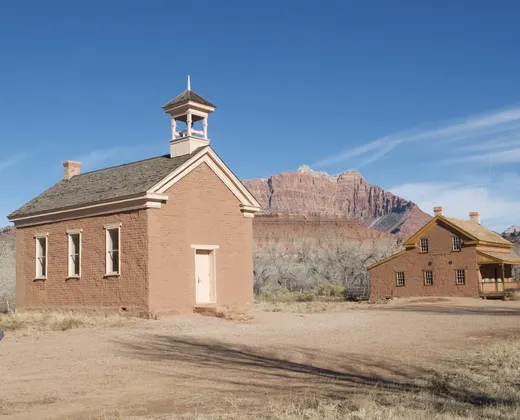
Mormon settlers first entered Zion Canyon in the 1850s under direction from Brigham Young, who sent scouting parties south from Salt Lake City. By the 1860s, families had settled the Virgin River corridor - founding the towns of Springdale, Rockville, and Virgin that still exist today. Nephi Johnson, one of the first non-Native Americans to enter Zion Canyon, described it in his 1858 journal as "the most magnificent scenery I had ever beheld."
The settlers carved irrigation ditches, planted orchards, and built stone homes that can still be seen in Springdale and the surrounding towns. They named the canyon Zion - a Hebrew word for a holy sanctuary - though not everyone agreed it was the right name. Brigham Young reportedly called it "not Zion" upon his first visit, hence the nearby town of "Not Zion" that eventually became Grafton.
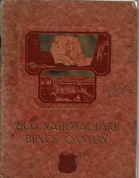
A 1920s Railway Brochure, Digitized
Before paved roads and national park shuttles, visitors arrived at Zion by train - and the Union Pacific Railroad published lavish brochures to sell the trip. We've digitized one of those historic booklets: a guide to Zion, Bryce Canyon, and Cedar Breaks written in the 1920s, when these parks were still new to the world.
The original text is preserved in full alongside modern context. Read it as literature, as history, or as a window into how Americans first understood this landscape.
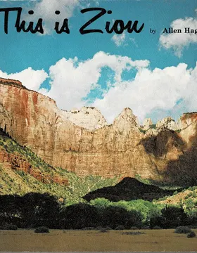
A 1974 Park Book, Digitized
We've also digitized This is Zion, a 1974 book by Allen Hagood published by the Zion Natural History Association - a photographic and geological tour of the park written for visitors standing in the canyon with the book in hand.
Original photographs and text are preserved alongside adapted modern context, spread by spread.
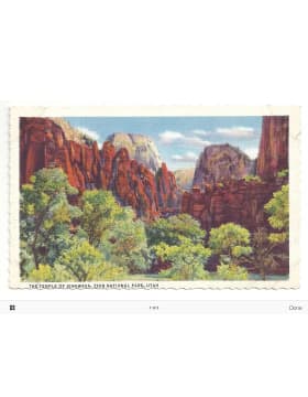
A Vintage Postcard Gallery
We've also gathered a small collection of vintage Zion Canyon postcards from the archive - linen-textured color prints, sepia photographs, and railway-era travel art, restored from the original scans.
Browse the full gallery of restored postcards below.
There's More to Discover
The human story of Zion is woven into every trail and canyon wall - even the names on the map have tales to tell. Keep exploring the canyon's people, wildlife, and landscapes.